

NY City: 2030 by Robert Moses

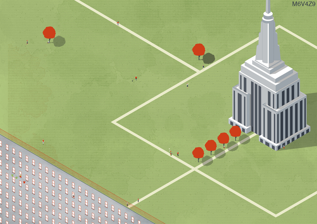
 What if Robert Moses got everything he asked for? Moses’ City would have been dominated by criss-crossing expressways, acres of monotonous public housing, imageless neighborhoods, and broken public transportation. Moses dreamed of a city for cars, going as far as to say “cities are created by and for traffic”. In this proposal we look at the city with both a past to future and future to past lens. The proposal first imagines Robert Moses as the true master builder and envisions a NYC that conformed to his desires, and followed his ideals. These ideas ranged from leveling buildings, blocks, and entire neighborhoods – like Greenwhich village – to make way for new crosstown expressways, carrying 5th avenue through Washington Square Park and scattering public housing complexes throughout the city. By exemplifying the auto-dominate culture of mid-century America, we see a 21st centuryNew York that is in love with cars. The city ofNew York would continue to cut expressways through and place field after field of tower-in-the-park housing complexes. The city would have two new major expressways put in: the central park expressway, and the125th street expressway. The Hudson Riverside would be developed with housing complexes along its extents, touting fantastic views and easy expressway access.
At the peak of its oil consumption, Robert Moses’ New York of 2012 would have to reflect on its past planning decisions to see what it could do to rectify its current situation, and return its self to the multi-modal New York of the early 1900s. The first planning act would be to give the city back to the pedestrian; the city must no longer allow the automobile to be the determining factor of design. The city would look to its main public spaces to see what could be done to remove or lessen the automobiles choke hold. The most prevalent and famous example would beWashingtonSquarePark, Jane Jacobs battle ground. By 2020, the park that was once whole would return to the pedestrian. By raising the park back over 5th avenue – which cuts through the city – the park regains a continuous pedestrian surface. This new “blanket” would create more built space for the NYU campus, provide an outdoor amphitheatre and increase the amount of accessible green space in the park. The next most infamous piece of infrastructure would be Robert Moses highway or the Lower Manhattan Expressway. In 2025,New Yorkknows that tearing down the 82-year old expressway is not an option. Instead, the city must look to see how it can de-emphasize the steel and concrete monstrosity to become a destination, a beacon, and an icon. The Lower Manhattan Expressway would berth the Lo-Way. The Lo-Way is a pedestrian promenade under the Lo-MEx that links the cities’ pedestrians across the island while providing various functions. The Lo-Way has: arboretums, green markets, the Bowery Amusement Park, a skate park, as well as a green connection back to the newly re envisioned Washington Square Park. By 2030New York Cityis on track to return to a pedestrian-oriented city. The city still has expressways and tower housing, but now has models to follow. The Washington Square Blanket and the Lo-Way offer a kit of parts that can be altered and applied to other sites throughout the city. The auto-dominant planning of Moses’ era would become the incubator for new public spaces where all modes of traffic co-exist and can support multiple activities and amenities.


Info:
Title: NY City: 2030 by Robert Moses
Time: 13 giugno 2012
Category: NY
Views: 9306 Likes: 5
Tags: -